Strolling Amok

Pops goes on tour.

Archive for the tag “Travel”

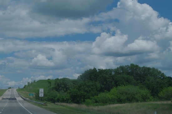
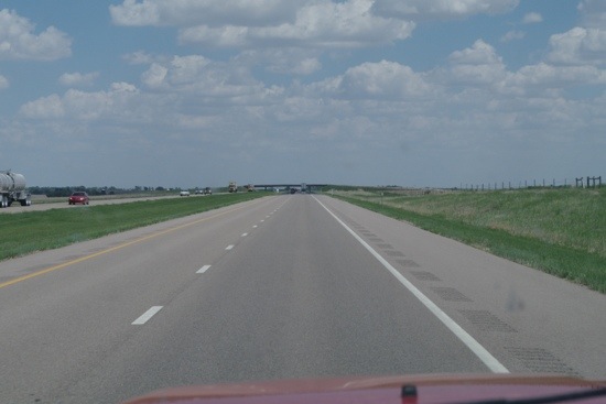
Day Seven, Osceola Iowa

20140531-153611.jpg
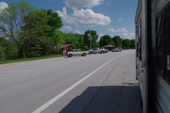
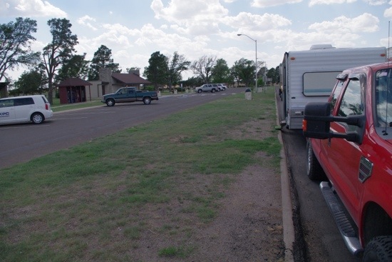
A rest stop along I-35 in Osceola, Iowa is yielding a WiFi signal that actually is both open and operative. I’m parked at the outskirts of the lot and need to use the Hawking Range Extender to get a good hold on it, but it works and I’m attempting to update software on the iMac now, a process that this time is going to consume some 233MB of data. Don’t try that on your cellular data account.

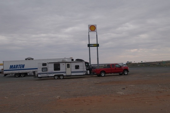
This is an especially functional stop for overnights, since it separates RVs from the overnight noise of semi-tractors. The big drawback of staying at rest areas and truck stops is that many old-school truckers still let engines idle for prolonged periods or overnight. Most don’t. A few who don’t instead use an Auxiliary Power Unit that’s little more than a diesel generator in an enclosure. Those are quieter than a cheapie consumer generator, and louder than a Yamaha or Honda generator. The one that parked next to the Defiant last night had one with enough oomph that

Read more…

Day Six, Paxico Kansas

20140530-172852.jpg
You might think of Kansas as being nothing but flat turf, but it’s not so. The central portion at least is green, rolling hills perfect for grazing. I could have sworn I saw a promotional sign for Russell County offering free residential and business land, but I’m not able to find anything related on the Internet. It was west of Lincoln County, anyhow. Not a lot of people or towns in the western section of the state – many of the exits off I-70 are to access ranches and such in the area.

It was an uneventful day, with orderly driving and lunch at an Ihop after an attempt to get to The Cozy Inn failed. Although they promised to have the very best burger in the state, it took a two-mile drive into Salina (sah-LIE-na, according to the radio announcer) through an interesting

Read more…

Day Five, WaKeeney Kansas

20140529-163000.jpg
Change of plan for today and probably tomorrow. Once I passed from Colorado to Kansas and stopped at their Welcome Center, I saw the light, brothers and sisters! Yes, I was headed for Hays, a Walmart in Hays, with yet another empty promise of WiFi from a nearby motel. Looking at it in Google maps, it looked too congested for a rig like the Defiant. And I hadn’t overnighted at one of the many fine Colorado rest areas because that’s agin’ their law. But the Kansas Welcome Center hands out maps with rest areas pre-marked on them and invites you to stay. Most of the areas even include free dump stations, should you feel so moved, no pun intended.

So I’m about 25 miles short of Hays, moistly soaking in balmy 93-degree temperatures, and will likely wind up at another rest area short of Topeka, Kansas tomorrow. When possible, I prefer to drive for 3-1/2 to 4 hours each day (200+ miles), plus an hour or so for any refueling, pit stops, and lunch. See, I make a late start after a fortifying breakfast of eggs, bacon & ‘taters, then hit a restaurant for lunch, drive some more, and I’m usually back off the road by four o’clock local time. It’s a nice way to travel. My alternate route was a touch shorter but demanded longer daily drives to take just seven days instead of nine, but I decided against it. Why rush? – (if one can call that rushing).

20140529-165134.jpg

Day Four, Seibert CO

Bunny! Bunny! This was this morning in Walsenburg, Colorado at the truck stop, before I left.

Bunny! Bunny! This was this morning in Walsenburg, Colorado at the truck stop, before I left.

Well, I was supposed to be staying at a wildlife preserve in Flagler Colorado, but it seems that one detail was left out of the site’s description. That would be that the entire parking area has a wicked tilt to it, so I had to give up on it and press on. No amount of boards I had as levelers could compensate.

Well, Bunny didn't mind me getting up to get the camera, and just decided to take it easy for awhile!

Well, Bunny didn’t mind me getting up to get the camera, and just decided to take it easy for awhile!

Just a few miles down the road in Seibert, there was a Conoco travel stop with a huge dirt parking lot for semis to stay overnight. However, there was also a place called Shady Grove RV Park, an improvised overnight place in someone’s large yard that still manages to have hookups for sewer, water and 20/30/50 amp electrical service, TV with a million channels, plus free WiFi that I haven’t been able to log onto successfully, and the nice lady in the office is away for 4-1/2 hours to pick up her husband at an airport, probably Denver. I could use some WiFi to be able to let the iMac update its software, but this day is not going according to plan.

The same snow-capped pair as in earlier shots, but I didn't mention that they were what I always saw right out my dining window, despite the semi-trailer parked next to me!

The same snow-capped pair as in earlier shots, but I didn’t mention that they were what I always saw right out my dining window, despite the semi-trailer parked next to me!

All of today’s drive was on open grazing land that rolled a bit here and there, but the distances you can see in all directions are incredible. 95% of it was on good two-lane county roads, and just the last bit on I-70. Good thing I had topped up on fuel, and also had a pretty reliable rig, because Read more…

Day Three, Walsenburg CO

20140527-180226.jpg
Today’s theme is Changing Landscapes, I guess. The Gawk Factor remained high as New Mexico offered its own variations long before getting into Colorado. High desert, high forest, mountains, and sweeping, grass-covered valleys that resembled forty-mile dinnerplates. I would say prime land for cattle, which were there behind fences. But then I started to imagine the same ranchers reintroducing buffalo grass and raising buffalo. No need to load them with antibiotics, or assist births, or watch them freeze in the winter. Just turn them loose, and keep count. As they say, anything is possible if you don’t know what you’re talking about.

20140527-181120.jpg
I’ll simply parade the photos, which will show in order some of the things I was gawking at. One of the shots has a pair of

Read more…

Day Two, Santa Fe, NM

20140526-201115.jpg
Today’s travel has taken me into the western half of New Mexico, which provides an abundance of views that are breathtaking (whether the photos are or not). Actually, I can barely tell what’s in these photos, as the software I’m using presents them as images smaller than postage stamps. You’ll also have to forgive tilting and in some cases poor aim – all were taken by simply holding up the camera, without benefit of either viewfinder or LCD display. Just shootin’ blind and hoping one turns out! Regardless, there’s no way to drive I-40 through this state without gawking like a rube in the big city for the first time. Fast transport through this state is a waste of life.

20140526-202118.jpg
It has, however, given me the second item on my bucket list. The first was to attend some of the land speed record attempts at the Bonneville Salt Flats in Wendover, Utah. No explanation needed there. The second is to hit some portions of decommissioned old Route 66, otherwise known as Historic Route 66 that officially ended its last segment in 1985. As I drove along I-40, I kept seeing Read more…

Day One, Navajo AZ

20140525-171411.jpg

After stowing the solar panels and arranging the trailer interior for minimal scrambling of contents, I headed south from Tusayan in order to hit I-40 and pass through Flagstaff on my way east. The two memorable things I encountered were snow capped mountains in the distance and smoke in the air from the nearby forest fire. Predictably, it smelled like a campfire.

20140525-173708.jpg

This Tractor Supply store reveals the main interests in the area: big water tanks and what looks like portable fencing for livestock.

Once you get east of Flagstaff, the earth is a distinctive red. Further east than that, the terrain is a mix of mesas and featureless expanses that look too dry to do much of anything with. Naturally, there are Hopi and Navajo reservations there.

20140525-174159.jpg

Except for a lot of time wasted at a T/A Petro truck stop, the day was thankfully uneventful. I must look like either a pro or a nutcase as I get out and methodically feel all eight tires and wheel hubs at every stop. I’m not fondling them – I’m checking temperatures. No need to relive the adventures I had last year.

20140525-174300.jpg

I arrived safe and sound at the Navajo Travel Center, which is just short of the New Mexico border. Tomorrow’s stop will be at a rest area near Santa Fe.

20140525-174345.jpg

I’m not even sure what kind of critter this used to be. I’m reminded of the old Jonathan Winters routine called “sailcat”, but I suspect this is/was a former rabbit. Let’s just use it as a reminder of the temporary nature of life. Enjoy it while you’ve got it.

Tusayan, Arizona Campin’

A turn onto NF 302 yielded a view with quite a contrast to my earlier campsites. Look! Actual trees!

A turn onto NF 302 yielded a view with quite a contrast to my earlier campsites. Look! Actual trees!

The town of Tusayan, Arizona borders the southern entrance to the Grand Canyon. Oh boy, the Grand Canyon! Well, not this trip, odd as it sounds. My goal was simply to see what the area is like for travel trailer campers like myself. To get a feel for the place. I have, and if you restrict the discussion to dispersed camping, it’s a mix that is the natural result of heavy commercialization.

The initial drive in with trailer in tow netted a view of three elk about to cross the road at the bend ahead!

The initial drive in with trailer in tow netted a view of three elk about to cross the road at the bend ahead!

On the way up here on 64, I noticed plenty of inviting National Forest roads branching off this way and that. Looking at a Motor Vehicle Usage Map , the Tusayan area is loaded with roads open to dispersed camping. I’m very curious to explore some of them in order to see what camping situations they offer, but I quickly found three impediments to doing that.

I stopped, the Ford's diesel quietly rattling away, and they decided it was better to get across now, before the big red box with the even bigger white box got any closer.

I stopped, the Ford’s diesel quietly rattling away, and they decided it was better to get across now, before the big red box with the even bigger white box got any closer.

Those impediments are first, that the tangled nest of available roads cover miles and miles of range instead of being a tight pack with numerous branches.

Second, the easiest way to explore those roads is Read more…

The Boondocker’s Best-Kept Secret

Would you prefer sun or shade for your beach camping, Miss? Or perhaps a little of both?

Would you prefer sun or shade for your beach camping, Miss? Or perhaps a little of both?

There’s a whole lot more to the Senator Wash Recreation Area than I first supposed. I initially tied nearby Squaw Lake and the south shore of Senator Wash Reservoir together as a couple of two-week-per-month options when using a $75 annual Recreational Fee Area Pass. But wait – there’s more!

Life can be cruel. Or sometimes, not so much. Idyllic camping, in my worldview.

Life can be cruel. Or sometimes, not so much. Idyllic camping, in my worldview.

The north shore of Senator Wash Reservoir is also a Recreation Fee Area that’s included in the same pass. As far as I can see, this little group of dispersed lakeside campsites is the best-kept boondocking secret on the Web. A quick tour through it in February yielded a ton of toes-in-the-water campsites, very few of which were occupied. Policy-wise, this is a van dweller’s paradise, since the area is also liberally peppered with Read more…

Squaw Lake Recreation Area

This shot is a bit distant, but it's the only way to get much of this lake in the frame!

This shot is a bit distant, but it’s the only way to get much of this lake in the frame!

Squaw Lake is adjacent to Senator Wash Reservoir at the Imperial Dam LTVA (Long Term Visitors Area). The facility and access to it are 100% paved. Squaw Lake is a Recreation Fee Area, which means that there is a day use fee of $10 and overnight camping at $15. The camping duration limit is 14 days in any 28-day span, and then if you wish to return after your 14, you have to either pay for a two-week pass at the Imperial Dam LTVA, or go at least 25 miles away for two weeks before returning. Unaffordable for the common mortal? You bet. But there are pleasing alternatives.

At center, the main parking lot offers access to fun if you have a boat, and superb surroundings if you don't.

At center, the main parking lot offers access to fun if you have a boat, and superb surroundings if you don’t.

Squaw Lake has a lot going for it. Besides the usual picnic tables and restrooms, it offers hot showers. A swimming area is there, and a paved boat ramp offers access to the Colorado River. The views are magnificent for 340 of the 360 degrees around, and the only drawback – a significant one for me – is that Read more…

Post Navigation