Camp Hunting II

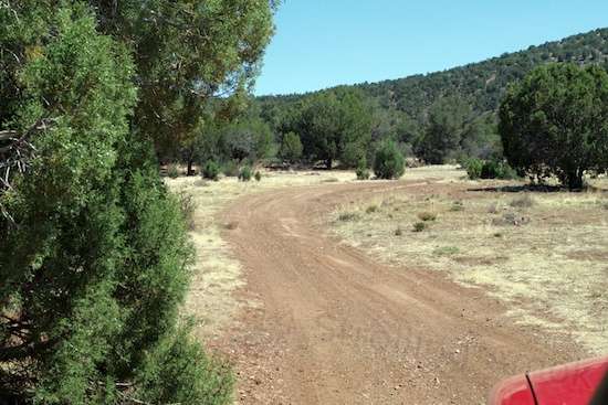
This is the gatekeeper for getting to town.
A day trip into Chino Valley for assorted necessities was needed after a week of camping miles east of town, so I decided that I may as well find a new campsite at the end of it – because I now can. I’ve hopefully outfitted the Intrepid for 1-week stays, and that was technically pulled short a few days when I failed to keep tabs on breakfast items. I was having soup or kippers for breakfast, which works, but it just felt…wrong. So wrong. Water was holding out fine after 7 days out, being somewhere between 1/3rd-2/3rds full, thanks to a simple menu that doesn’t require much cooking or cleanup. And I’m still waiting to run out of the first tank of propane despite running the furnace for minimum temperature each night.

And from the rear, it looks like this! I don’t have all that much articulation to play with. This is where an overly-stiff frame can work against you.
So, I made a late start and spent the day picking up packages, buying sundries, mailing off a failed memory stick at the Post Office, refilling the Intrepid’s water tank, doing laundry, buying groceries, disposing of waste bags, and of course enjoying breakfast out. I generally don’t eat any meals out because the expense adds up, but when a great place for breakfast is available and cheap, I’m a sucker for it.
By the time that was all done, it was after Read more…