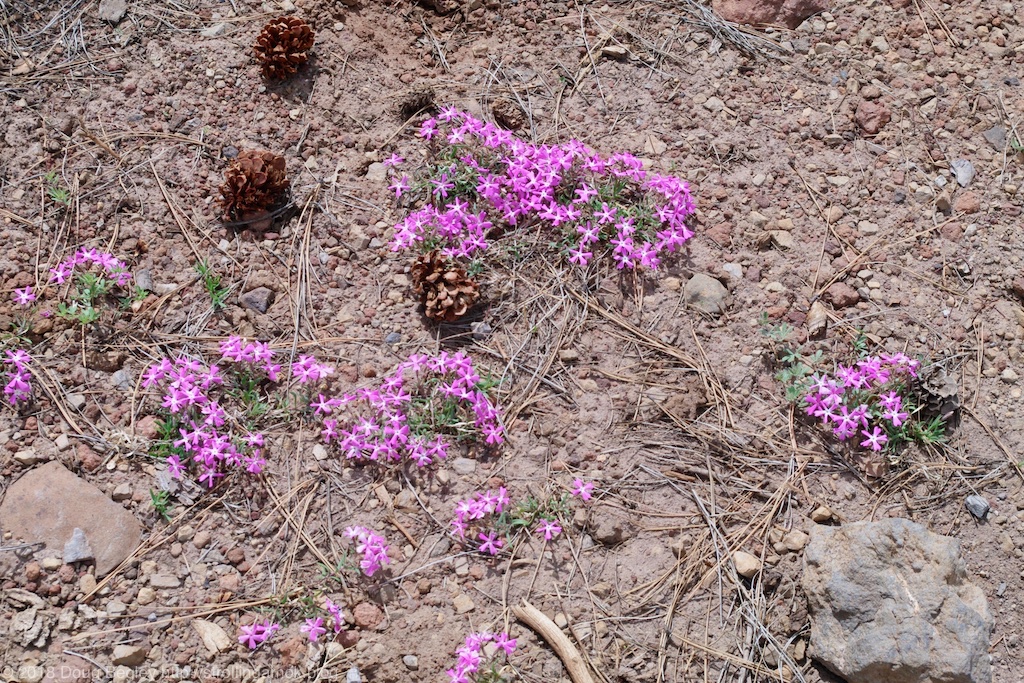
Strolling Amok

Pops goes on tour.

Archive for the category “Campsites”

Wish You Were Here!

This is the view out my passenger side window (though I stood outside on the cargo box frame to take it).

As the snap above reveals, my current campsite is magnifique. You can click on it to get a larger image. I had gone exploring on the e-bike and passed by a van parked in the trees near the intersection of NF-536 & NF-536A, a lengthy stub. GPS: 35.057183, -111.804945. Elev 7,129. Not far down 536A, I passed a lady walking her small mutt on a leash. After I asked about whether she’d noticed any campsites on her walk, she asked whether Read more…

On Second Thought…

Flowers are not in abundance here, so discovering some is a moment to appreciate. You can click on any of these photos for a larger view.

I moved camp. One reason was wondering what else could be workable “on top”, which was another 200′ higher in elevation. The other reason was noise. Despite the considerable distances between campsites, or perhaps because of it, locals love to come here and turn up their favorite music as loudly as their equipment supports, day and night, and of course turn their dogs loose. A recent report of attempted theft made me consider my deployed solar ground panels. Perhaps it was time to go back on mission and hunt up an additional measure of solitude.

Gaps in the trees during the climb allow quite a view.

Morbid curiosity had its hand in, once I made a start at pedal-touring the road above the switchbacks on NF-535. Up top is a different story entirely. I decided to pack up the camper and crawl all camping-approved areas as noted on the MVUM. So I idled down a branch at a water hole, which they refer to as a tank out here. 9018H goes straight west and cuts through an area where the forest shows signs of having been deliberately thinned out. The road itself is plain dirt, deeply rutted for very long spans, and occasionally troubled by Read more…

89A North of Sedona

If you have nothing better to do, take a look at the 12-minute video below. It shows parts of the drive through a deep valley, and up some paved switchbacks to get to Oak Creek Scenic Viewpoint and my campsite on NF-535. On my hike today, I discovered that I have the choice location for solar exposure. If you crave cool shade though, this road is for you. Yesterday and today, quite a few spots have been taken by local weekenders, and I wonder what percentage of the total, if any, are actually staging for the Overland Expo like me. Overlanders tend to move around, not plant, and I’m not seeing any identifiable overland rigs. Lots of car-based tent campers are here, including a troop of Boy Scouts. There’s even one 26′ travel trailer set up for the long run. My advice for the video is to view it fullscreen. Enjoy.

Oak Creek & NF-535

At 6,900′ elevation, this should prove livable for awhile! It’s about 200′ from the road.

As you can see from the photo above, I made it out of my campsite near Cottonwood intact, though I took the precaution of pumping the Mighty Furd’s rear suspension airbags up to 70 PSI instead of the usual 30. (Maximum is 100 PSI. Fascinating, I’m sure.) That raised the cargo box frame about 2″, just in case. Both left side tires are now wearing a few cactus thorns.

Getting to NF-535, otherwise generically labeled Oak Creek, was a brief and picturesque hop. That places me something like 7 miles south of the Expo site and not much further to Read more…

NF-493 Campsite #2

Looking down “my driveway” reveals the town of Cottonwood, Arizona.

It’s sometimes difficult to drive solo off-road with a stock vehicle more suited to sloppy construction sites than rough trails. You know that, regardless of cause, if your rig is disabled or stuck or damaged, what is an inconvenience in town can pretty quickly become at best an epic financial tragedy out in the boonies. At worst, it can become a survival story, particularly when age or disability enters into the picture.

Naturally, I try to err on the side of caution, despite my determination to enjoy camping in the sticks. Despite that caution, I’ve still smacked the Mighty Furd’s running boards on rocks, grounded out both the bike rack in front and the cargo box frame in the rear. Each time was a “What?? Seriously? On that? It couldn’t have!” moment of disbelief. That’s significant because there’s no way to simply remove and toss any badly damaged assemblies in the back of the truck and continue on. Without a spotter, there’s no failsafe way to estimate whether you’re going to just clear an obstacle, or contact it badly enough to cause crippling problems. Thus I can’t recommend that Read more…

Deer Weather

Through a screen, darkly. The iPhone I used to capture this seemed to think I wanted to focus on the window screen, but hey, it’s a photo.

I moved back to NF-493 in Cottonwood to better get through a cool spell and rainstorms, which is better than cold and snow. At the moment I write this, it’s just past noon, and the outside temperature is 44 degrees F. The predicted high today is 55, but that’s for the lower elevations of Cottonwood itself, and I don’t think I’ll top 50 right here.

I decided to hit that isolated spot further up on NF-493, a quarter mile past where I stayed before. It’s a fab spot, but I gotta tell ya, the entrance to it is a tricky devil. I made it in after adding a rock or two to the climb, both to ease the “bumpage” and to save the tires from sidewall threats. A narrower rig with less overhang would have a somewhat easier time of it. I hope to cover that and a true view of this campsite in a later post, if the opportunity presents itself. Yesterday and today are very rainy, keeping me from wanting to Read more…

Leaving is Such Sweet Sorrow

Whoa! This is a view of Prescott Valley, I think. This is from a hiking trail 101, where vehicle trail 1006E ends.

Yep, after 10 overnights, food choices are getting pretty limited and the water tank may run out any time now. And a cold spell is moving back in for several days, making high-elevation camping an exercise in choices. Not to mention rain in the forecast, which makes new campsite choices and accessibility a temporary issue. With a heavy camper, you want to be planted and stay planted until things dry back out. That’s especially true here at Woodchute, but affects most other trails as well. By Friday, heat will return and it will be time to resupply once more before continuing northeast to a longer stay at higher elevations. It won’t be all that long before the Overland Expo West!

Below is a mere 8-second video I captured with my iPhone after I realized that Read more…

The Great Western Trail

These little stickers are on many trail marker posts here.

[I finally figured out how to set photos so that they can be clicked on and viewed much larger. Enjoy]

This will be an unusual post, in that I won’t tell you all that much about the title subject. You can search online for that yourself. Still, the small stickers I kept seeing along the Woodchute Trail I’m camped on made me curious, especially since one was placed on a trail clearly impassable by the Intrepid. I’m nearly at the practical limit of what the large-barge Furdster can do here, and to go more than a quarter-mile further up really needs a spotter to make progress practical.

Anyway, the so-called Great Western Trail is a modern patching together of existing trails into a network that is envisioned to go from the Mexican border to the Canadian border, and perhaps one day to Alaska. Because some of its pieces or at least locations have some historical provenance, as it were, its fans like to claim that some of your distant ancestors have used parts of it to migrate from one area to another. Mine? No, definitely not. Maybe yours. Some 350 miles of trail have been assembled in Arizona so far, and it’s likely that Read more…

Back to Woodchute Trailhead

As sunset approaches, the view from the two campsites up here is unmatched.

I rarely backtrack when I’m onroute to a destination, but weather for the next week makes a 7,100′ elevation desirable, and I’m still waiting for a package in Cottonwood that should show up this week. So why not be comfortable? Once I completed errands in Cottonwood, I headed for the Woodchute Trailhead west of Jerome and arrived with plenty of time to set up camp. As the photo above shows, there’s good reason to go backwards for an hour.

Actually, I set up camp and then moved. A family in a Jeep was in my #1 preferred campsite overlooking a valley, so I moved into the nearby #2 site, which is almost as primo. I couldn’t tell if they were just there for the day or intended to set up a tent, so I got the Grandby happily situated. Just after I finished though, I looked out the window and they had vamoosed! I really didn’t need to move, since the only difference between the two sites is size. But I moved anyway, figuring that hey, I’d be here for the week so why not? It didn’t take long at all, and the Four Wheel can be safely Read more…

A New Campsite

Not much of it is level, but finding “the spot” should be possible.

Nope, I haven’t relocated to the campsite in the photo above, but I did simply find it on a walk. It’s actually a good-sized circle where only a little bit of is level enough to use for vehicle camping. But it should work. The issue is getting to it. It is a short but isolating distance off NF-493, 0.6 miles past where my current campsite is. That makes it GPS: 34.709066, -112.073265 and is visible on Google Maps. What it offers is mainly solitude. It’s in the high ground of a valley, so it should stay usable if it rains. It has a pleasant if unspectacular view in all directions. It is technically accessible by 2WD, but you do need Read more…

Post Navigation