Strolling Amok

Pops goes on tour.

Archive for the tag “Woodchute Trail AZ”

Leaving is Such Sweet Sorrow

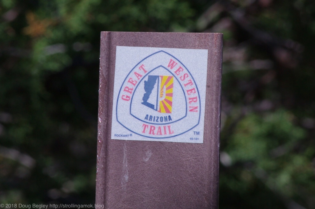
Whoa! This is a view of Prescott Valley, I think. This is from a hiking trail 101, where vehicle trail 1006E ends.

Yep, after 10 overnights, food choices are getting pretty limited and the water tank may run out any time now. And a cold spell is moving back in for several days, making high-elevation camping an exercise in choices. Not to mention rain in the forecast, which makes new campsite choices and accessibility a temporary issue. With a heavy camper, you want to be planted and stay planted until things dry back out. That’s especially true here at Woodchute, but affects most other trails as well. By Friday, heat will return and it will be time to resupply once more before continuing northeast to a longer stay at higher elevations. It won’t be all that long before the Overland Expo West!

Below is a mere 8-second video I captured with my iPhone after I realized that Read more…

The Great Western Trail

These little stickers are on many trail marker posts here.

[I finally figured out how to set photos so that they can be clicked on and viewed much larger. Enjoy]

This will be an unusual post, in that I won’t tell you all that much about the title subject. You can search online for that yourself. Still, the small stickers I kept seeing along the Woodchute Trail I’m camped on made me curious, especially since one was placed on a trail clearly impassable by the Intrepid. I’m nearly at the practical limit of what the large-barge Furdster can do here, and to go more than a quarter-mile further up really needs a spotter to make progress practical.

Anyway, the so-called Great Western Trail is a modern patching together of existing trails into a network that is envisioned to go from the Mexican border to the Canadian border, and perhaps one day to Alaska. Because some of its pieces or at least locations have some historical provenance, as it were, its fans like to claim that some of your distant ancestors have used parts of it to migrate from one area to another. Mine? No, definitely not. Maybe yours. Some 350 miles of trail have been assembled in Arizona so far, and it’s likely that Read more…

Back to Woodchute Trailhead

As sunset approaches, the view from the two campsites up here is unmatched.

I rarely backtrack when I’m onroute to a destination, but weather for the next week makes a 7,100′ elevation desirable, and I’m still waiting for a package in Cottonwood that should show up this week. So why not be comfortable? Once I completed errands in Cottonwood, I headed for the Woodchute Trailhead west of Jerome and arrived with plenty of time to set up camp. As the photo above shows, there’s good reason to go backwards for an hour.

Actually, I set up camp and then moved. A family in a Jeep was in my #1 preferred campsite overlooking a valley, so I moved into the nearby #2 site, which is almost as primo. I couldn’t tell if they were just there for the day or intended to set up a tent, so I got the Grandby happily situated. Just after I finished though, I looked out the window and they had vamoosed! I really didn’t need to move, since the only difference between the two sites is size. But I moved anyway, figuring that hey, I’d be here for the week so why not? It didn’t take long at all, and the Four Wheel can be safely Read more…

On Tour: Woodchute to Jerome


A holiday snap taken by the Garmin VIRB Ultra, which inserted its own default data overlays of speed, elevation and location on a mapped track. And its own logo, of course. These are probably easy to get rid of, just as they are on video captures, but I haven’t explored that yet.

Once you get the video bug, it’s hard to stop seeing what can be done on a budget. The 16-minute video below takes the viewer from my campsite at Woodchute Trail through the eclectic town of Jerome, Arizona. If all you want is to see what driving through Jerome is like, just skip farther in. Should you be considering Woodchute as a potential camping spot, you’ll want to start at the beginning. Basically, anyone in any rig can make it up to the cattle gate, and there are plenty of pull-offs to choose from. Cell reception may be an issue there, however. In this video, you’ll eventually see some travel trailers large and small in this section.

Once past the gate however, your rig should be more compact and have good ground clearance, ’cause it can get pretty bumpy and rutted. 2WD is all that is needed in dry weather, however. The Mighty Furd’s new shocks certainly got a workout on a few parts of it, and you need to know how to pick your path to avoid dropping a wheel into something deep enough to ground out an axle. It’s not difficult at all, but it’s worth mentioning and something to avoid doing in the dark.

As for the mechanics of the video, it was all done with an action cam. Except for a view of the rear suspension taken by mounting the camera on the cargo box’s hitch stalk, all of the footage was taken Read more…

Woodchute Trailhead for Camping

I took my iPhone with me on my walk yesterday, both to track my walking distance and to take some video footage about what the trail and the campsites along it are like. Overall, this is not the place for big, fixed solar arrays, but movable ground panels will ensure the best performance in the greatest number of campsites. It’s the trees.

Again, this is a 2WD trail when dry, but high clearance is definitely needed. Approaching the one-week mark, the only campers I’ve come across are car campers/tenters. No motorhomes of any type, no other truck campers, no generic passenger cars, and no trailers of any type or size. So far. Aside from one 4WD van, all vehicles have been pickup trucks with and without bed shells, and Jeeps. That’s it. And everybody, regardless of vehicle type, goes slowly past. Apparently, no one wants to go into launch mode (including ATVs and dirtbikes), and this trail can do it.

Once again, this clip is mainly an exploration, this time to find out Read more…

Woodchute Trail 106D

Your choice: you can either drop into the trough to the left, or stay high and enjoy the mega-washboard on the high side.

First, the bad news, which is bad only from my perspective. Wickenburg Tire has gone out of business. That’s where I got my Coopers after surveying the local landscape a few years ago. Such it seems to go with all automotive places that combine low prices and good customer service. You never really know what the story is. Maybe it’s because they didn’t squirt oil on your shocks to convince you that they need replacing, or because they failed to sell you new brakes that you didn’t actually need. They seemed more interested in selling you what you came in for instead of upselling. Maybe that’s it. The first year I went there, they were bustling with a full staff. The next visit, they were operating with a skeleton crew, and the manager was badly overloaded but still functional. Now they’re gone. Wickenburg Tire, I remember ye.

Seeking relief from the comparative heat wave of Wickenburg, I decided to go for broke after carousing and filling my belly at Zipp’s Sports Grille alongside Primo Accomplice, Matt. Good food and good company make for a memorable time, and I say that only because I know he reads this blog. 🙂

Going for broke means choosing a higher elevation than the needed 5,000′. Woodchute Trail/Trailhead is located between Prescott Valley and Jerome, AZ. Campsites begin promptly after passing the trailhead and the blocked entrance to the Potato Patch Campground which opens next month, and the choice is to prioritize Read more…

Post Navigation